Meetnet @IMDC
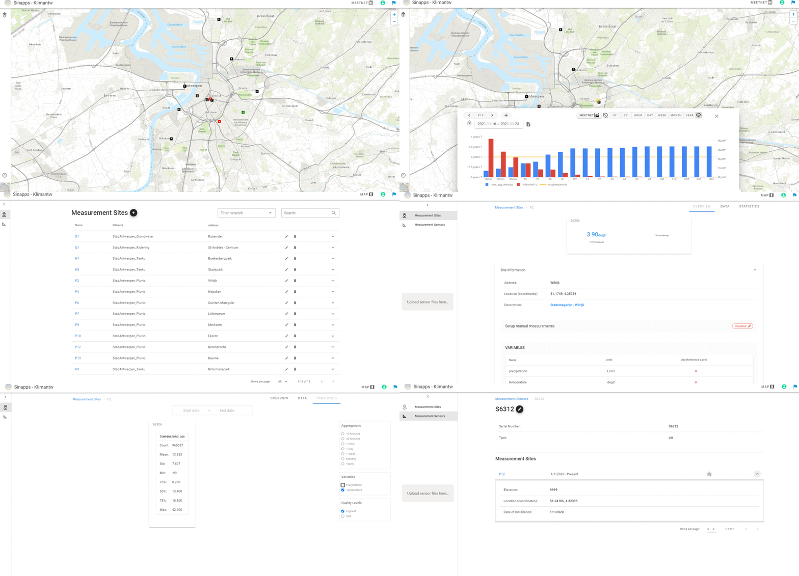
Meetnet is a web-application that has recently been developed by IMDC to manage sensor networks. It can efficiently manage sensor networks, view and analyse incoming data streams, and display summary statistics. In combination with Synapps, your sensor networks may be spatially visualized and overlayed with different geospatial data sources and maps. Next to visualising your network and managing your data and sensors, the application allows to configure email alerts for e.g. missing data in your network or thresholds that are hit. The platform is being developed using the latest state-of-the-art open-source technologies such as Python, Django, Django REST framework, Geoserver, and Vue.js.
Managing sensor networks may be hard, especially if the sensor network grows or data within the network is coming from different sources. Meetnet is a web-application built with a focus on managing sensor networks and their data. It allows to store all meta data of your network (sensor types, location of measurement sites, names etc.) in one central database and manage it from one application. Meetnet smoothly integrates with a variety of state-of-the-art data sources such as the Proximus MyThings Platform and the Sigfox Platform. In addition, data stored in Meetnet may be easily exchanged – upon agreement of all parties – with different external partners such as WaterInfo or Databank Ondergrond Vlaanderen. The application does not only allow to collect and manage your data but also to easily analyse your data by means of calculating summary statistics, visualising time series at different temporal aggregations, and manually validating your data. The application also allows the configuration of email alerts for missing data and on thresholds that may be hit.
Finally, Meetnet smoothly integrates with Synapps, an online map viewer developed by IMDC allowing you to spatially visualise your sensor networks. Therefore, Synapps/Meetnet is a powerful tool not only allowing you to manage your sensor networks, but also to visualize, analyse, and validate your sensors networks and their data.


