
Elmina Fishing Port
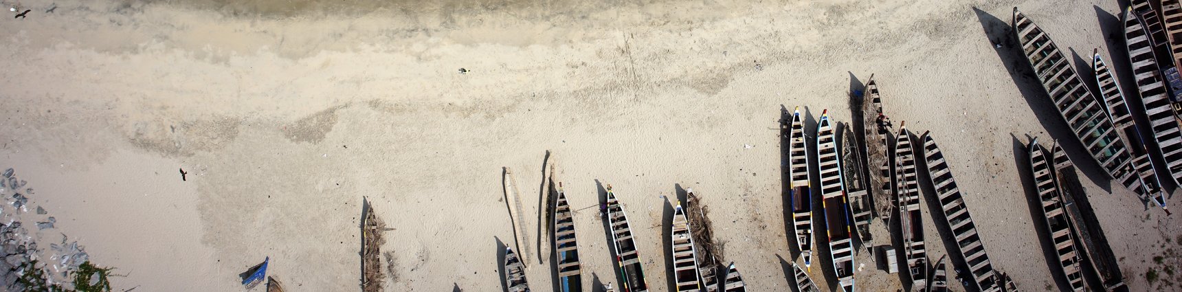
Artisanal fishery is the most important economic activity in Elmina, Ghana, and it relies on fish from both the inshore and offshore marine environment. It has been estimated that 75% of the town’s total population derives their livelihood either directly from fishing or indirectly from fishing-related economic activities. Therefore, the Government of Ghana intends to undertake the rehabilitation and expansion of the Elmina Fishing Port, increasing the accessibility and size of the port while enhancing the tourist appeal of Elmina. Eventually, it should provide the fishing fleet with both unobstructed movements between the ocean and the lagoon and increase capacity by providing additional sheltered quay walls in a new port basin.
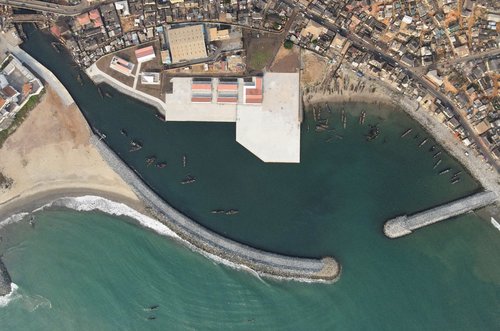
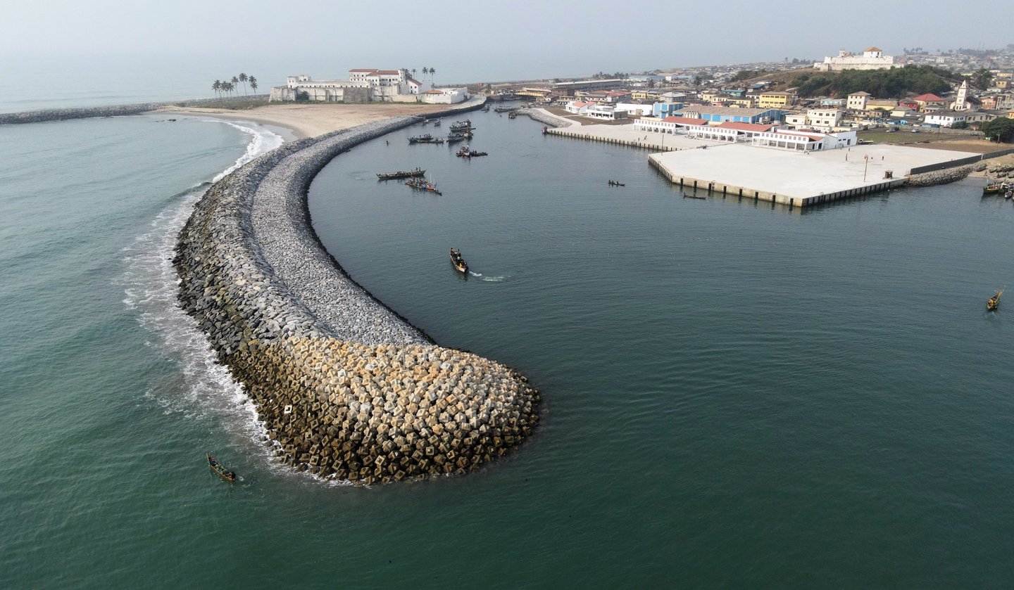
IMDC was responsible for improving and expanding the fishing port while enhancing the tourist area of Elmina, Ghana. To achieve this, the new port included two new breakwaters (northern and southern) of around 700 m total length that protect the deepened basin from incoming waves while reducing sedimentation. A reclamation area and quays were constructed and installed to provide additional berth space for the onshore facilities. Innovative and sustainable solutions were sought, by reusing the existing breakwaters as much as possible. In the figure on the right, the southern breakwater (left on the figure, protecting the inner port from incoming waves) and the northern breakwater (right on the figure, blocking the longshore sediment transport) are shown in their finalized stage together with the provided reclamation area, quay walls, and revetments. Several activities were undertaken during the course of the project in order to obtain the shown layout of the port and are highlighted below :
- Measurements specifications: preparation of specifications for bathymetry, geotechnical, and metocean site investigations to international standards.
- Site measurements and investigations: undertake and analyse the wave and current measurements to understand the coastal processes; the geotechnical research, including CPTs, boreholes, and providing of a geological model.
- Desktop studies and port optioneering: analysis of existing data, undertake an optioneering exercise where 7 different port layouts were created and 3 selected to concept design based on a multi-criteria assessment (MCA).
- Wave modelling: various wave models and statistical tools were used to assess design conditions in and outside of the port. A joint probability of occurrence, combining water levels and wave heights, was opted for to provide design conditions.
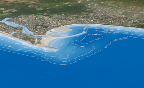
- Morphological modelling: assessment of sedimentation risks along the northern and southern breakwaters, the beach in front of the castle, within and at the entrance of the port, using state-of-the-art models. Estimating the annual maintenance dredging needs, per layout, and optimizing them accordingly.
- Concept and detailed design: design of the rubble mound breakwaters, revetments, quays (block and sheet pile), scour protection, reclamation area, dredging layout, moorings, fenders, aids to navigation, and civil structures.
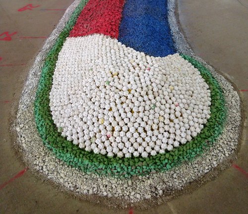
- 3D Physical modelling of the port: procurement and supervision of the physical model tests of the final port design, assessing wave tranquillity inside the port and breakwater stability. The figure shows the head of the southern breakwater, using various colours to distinguish the different layers (armour, filter and core).
- Construction drawings and specifications: preparation of the design drawings and specifications fit for construction.
- Site supervision, value engineering and design verification during execution: supervising the construction of the port to ensure execution is carried out according to the predetermined design while meeting international standards.