
Numerical modelling for the Ayeyarwady Integrated River Basin Management (AIRBM)
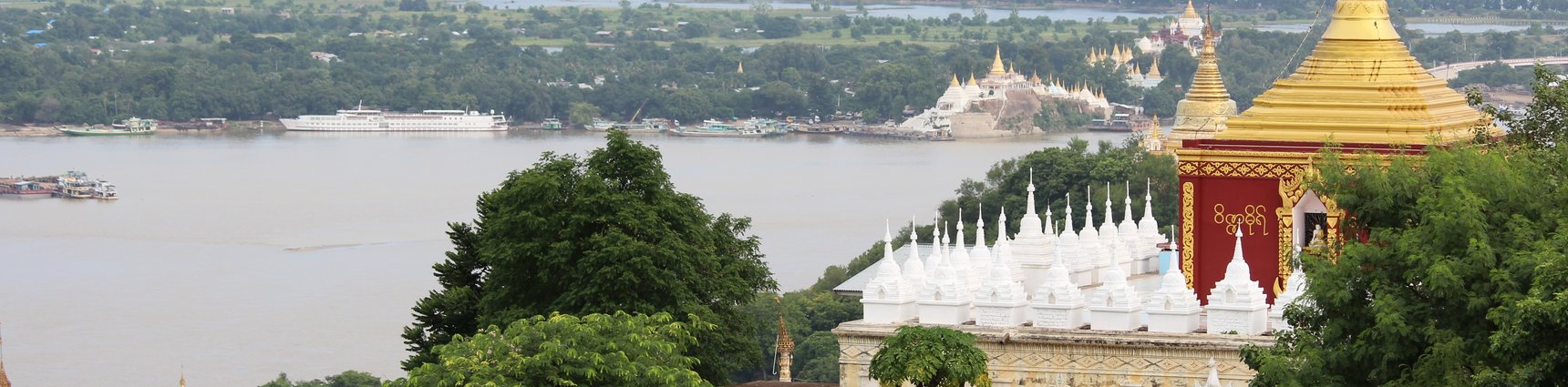
The Ayeyarwaddy River is the largest river of Myanmar and one of the largest rivers in Southeast Asia. In this project, river training measures are designed to improve the navigability in a 150 km stretch of the river extending from Mandalay at the upstream side to the historic side of Bagan downstream.
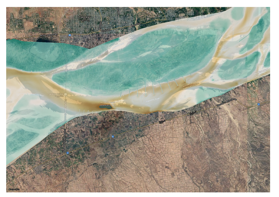
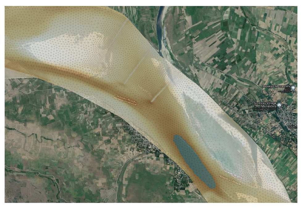
Model simulations were made using TELEMAC-2D in combination with the sediment transport package SISYPHE. The model simulations were used in order to simulate the flow, water levels and changes in the bed levels due to the proposed river training measures. These measures consisted of a combinations of groynes, closure structures, bank protection works and porcupine fields. The parametrization of these porcupine fields was done using a newly developed FORTRAN code. The simulation focussed on different aspects, namely the initial morphological development during a one-year period as well as the flow conditions and water levels during low water and high water events. A specific point of attention was the highly dynamic character of this river, which can have substantially changes in the location of side channels in short periods of time. The results of the simulations were used in a multicriteria analysis to evaluate different scenarios of proposed river training works..
Data
- Client: DWIR
- Start date: 2019
- Completion date: 2021