A feasibility study for the protection of critical infrastructure vulnerable to floods and storms
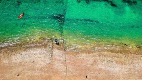
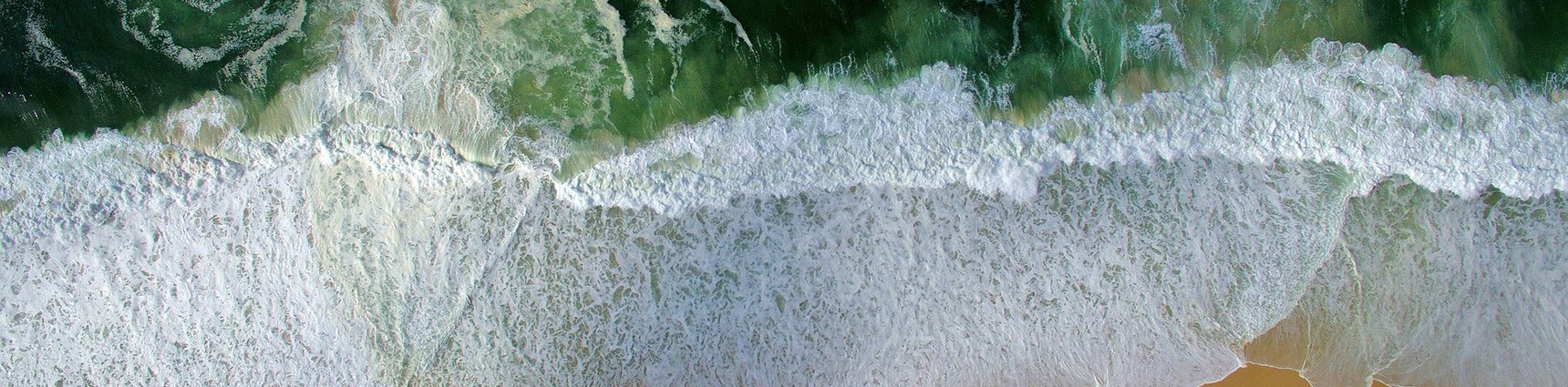
Beaches, dunes, seawalls, dikes, controlled floodplains protect us and our infrastructure from storms and floods. Assessing the status and health of these barriers is intensive, costly and time-consuming. Satellite imagery and spaceborne data could provide useful information for such an assessment. IMDC & VITO Remote Sensing have teamed up for an ESA project “Space for Safe Life and Infrastructure along coasts and estuaries that kicked off early November. Together with 4 public & private end-users we will assess the viability for a web-based tool MoSCI (Monitoring from Space for Critical Infrastructure). Using design-thinking and lean product development techniques we will involve our end-users frequently. A web-based tool that centralizes spaceborne data with other topographic and coastline data could monitor the health and provide early warning in case of risks. It will be capable of detecting changes of the assets at risk and allow our customers to better understand the risk exposure. Damage assessment will also be integrated into this tool. The project is funded by the European Space Agency (ESA) and led by IMDC.
