
Numerical Modelling for the Flood Risk plans of the communities l’Ile de Cayenne, Macouria and Kourou
Following the deadly and costly storm Xynthia, the French government decided to develop Coastal Risk Prevention Plans in the most at-risk municipalities. The objective is to develop sustainable urban planning policies while developing a culture of risk.
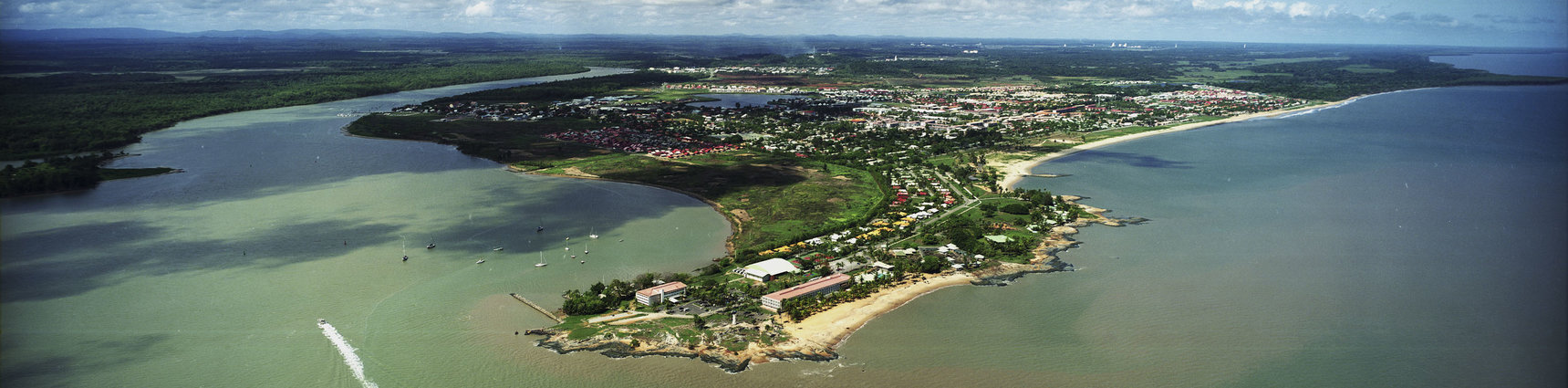
The French Guyana Department of Environment, Development and Housing wanted to update the existing flood and coastal risk prevention plans of 5 municipalities covering 60 km of coastline, in order to take into account the most recent data and regulations.
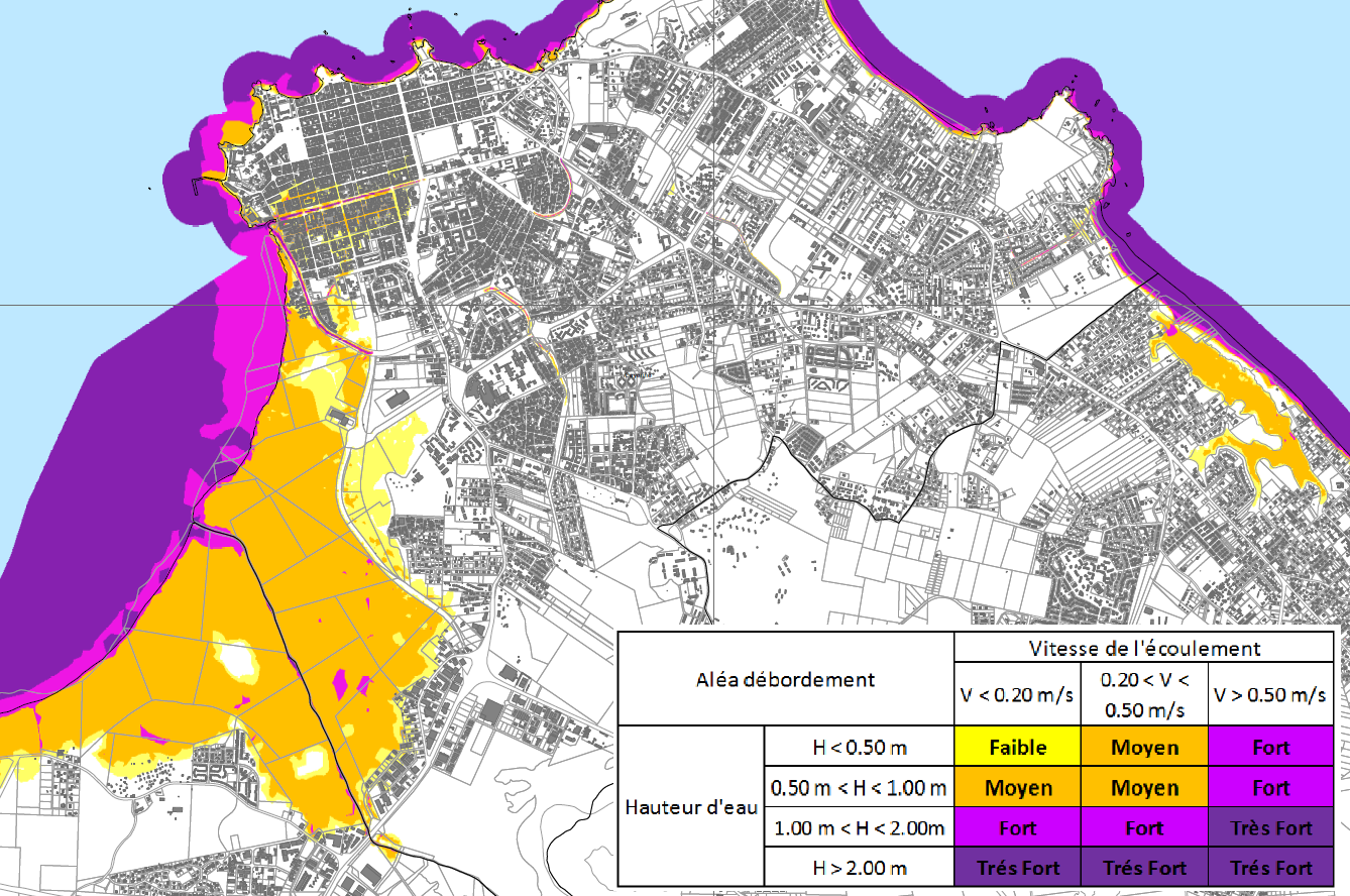
IMDC and its partners therefore analysed the site, mapped the hazards, identified the issues, updated the regulatory zoning and regulations, and participated in public inquiries. IMDC was responsible for site analysis and hazard mapping of runoff, river flooding, marine submersion and coastal erosion hazards.
IMDC provided the following services:
- Analysis of the coastal system, historical events and the protection system
- Evaluation of coastline recession using aerial images
- Multivariate analysis of extreme wave and sea level values
- Wave modelling
- Modelling of throughput
- Modelling the dynamics of marine submersion, runoff and river flooding
- Mapping of marine submersion, runoff, river flooding and coastline retreat hazards
- Definition and mapping of issues
- Regulatory Zoning
- Rules
- Public Inquiries
- Drafting of the presentation note
- Communication Plan
Data
- Client: Direction de l’Environnement , de l’Aménagement et du Logement - Guyane
- Start date: 2016
- Completion date: 2019